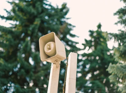
Kyiv Shelter Map
Where to find the nearest shelter in Kyiv: the interactive shelter map and a short guide for visitors.

The Kyiv Shelter Map by Visit Kyiv is based on official data and includes nearly 3,000 shelters across the city. We created it to help you find a shelter nearby as quickly as possible and feel more prepared, especially if you are visiting Kyiv for the first time.
Simply allow access to your location, enter an address, or tap any place on the map — and it will show the nearest shelters and help you get directions.
The map is available in Ukrainian and English, so it can be used by both visitors and locals.
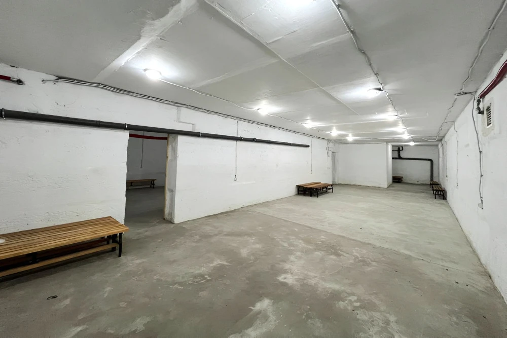
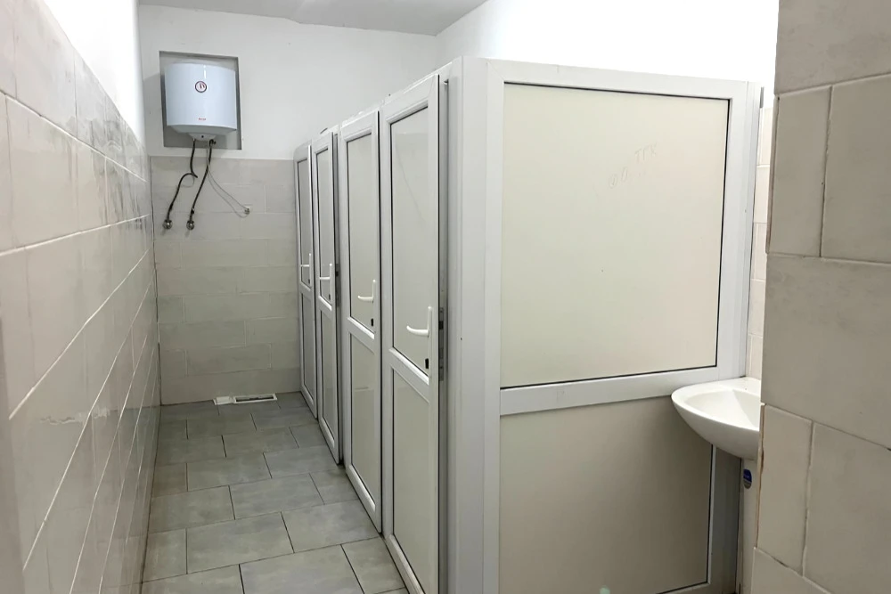
The map shows basic information about each shelter, including its type, address, district, opening hours, phone number, and wheelchair accessibility. However, it does not show what the shelter looks like inside or where exactly the entrance is yet.
That is why we recommend finding and checking your nearest shelter before your first air raid alert. Do not hesitate to ask locals for help — people in Kyiv are used to helping each other in situations like this.
How to use the Kyiv Shelter Map
You can find the nearest shelter in several ways:
- Allow location access. The map will show the closest shelters to your current location.
- Search for an address or landmark. Enter your address, hotel, or landmark to see nearby shelters. This is a useful option if you plan to visit that area later.
- Tap any place on the map. The map will show the closest shelters to that location, which is useful for checking a specific area in advance.
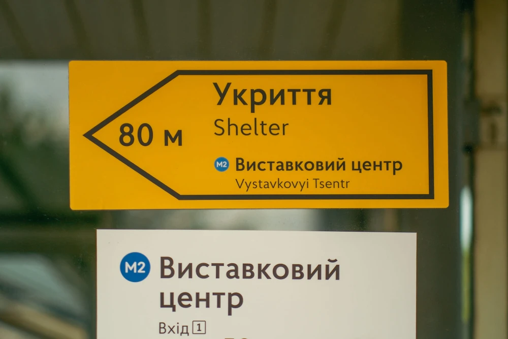
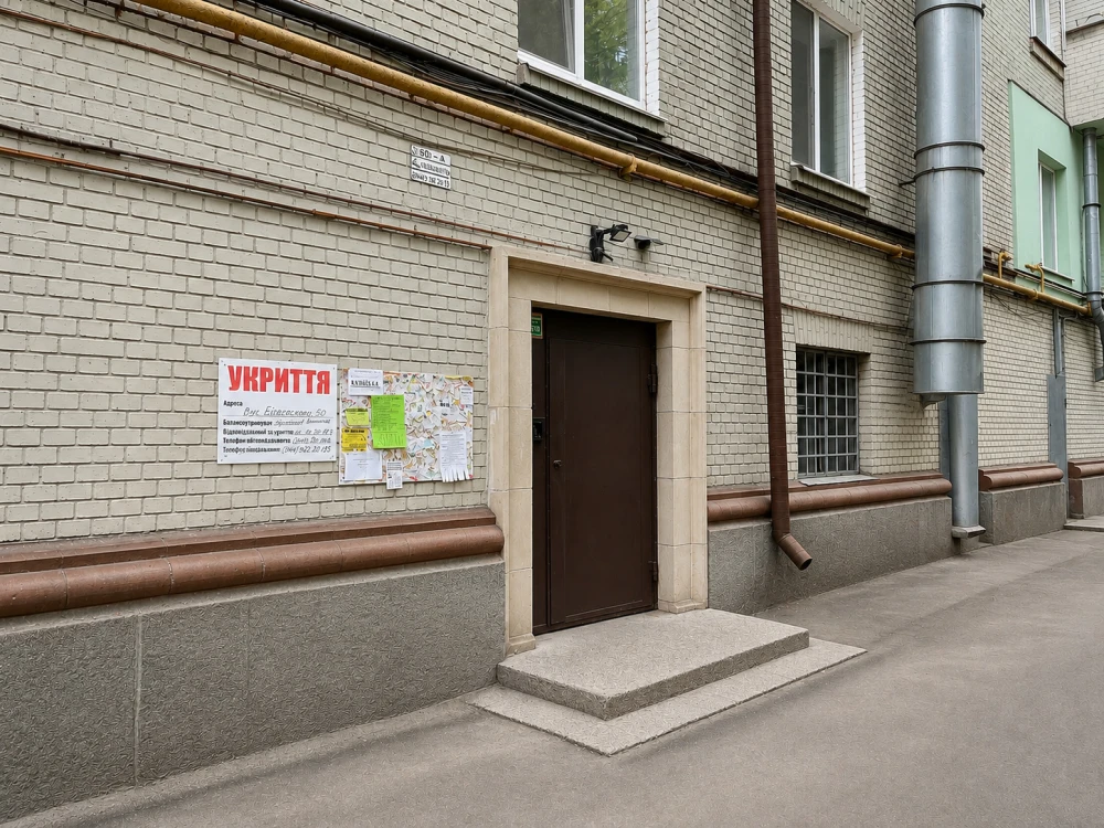
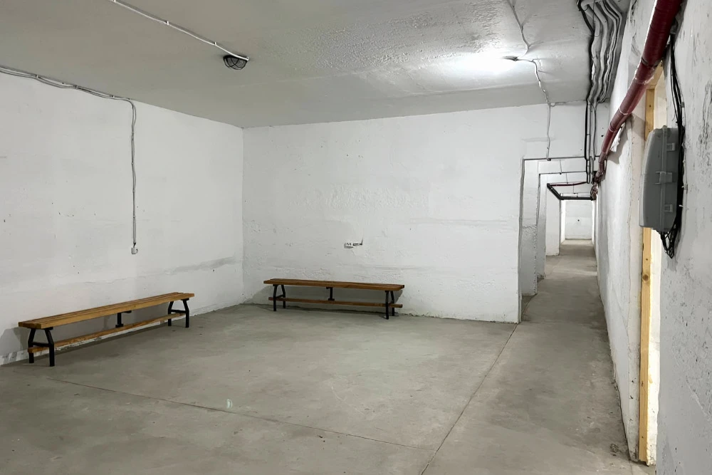
What else can the map do?
- Shelter details. Tap any shelter marker on the map to see its type, address, district, opening hours, phone number, and wheelchair accessibility.
- Get directions. The “Get directions” button opens Google Maps with a route to the selected shelter.
- Filters. Use the filter icon in the top corner of the map to narrow down the list — for example, to show only underground shelters or shelters in a specific district.
- Report an issue. If a shelter is closed or you cannot find it at the listed address, you can report the problem directly through the “Report a problem” button in the shelter card. This helps us keep the information up to date.