


See Kyiv from the Dnipro waterfront: a walking route along the river
A leisurely walk by the water with panoramic views of Kyiv, shaded park paths, and a few short stops along the way.


- Duration: 1.5–2 hours without lunch; 2.5–3 hours with lunch
- Distance: 2.5 km
- Start: Dnipro Metro Station
- Finish: Navodnytskyi Park
- Best time: late morning or early afternoon
- Route: Route map
This is an easy route for a day when you want to spend a few hours by the water without having to travel far. The walk starts at Dnipro Metro Station, follows the waterfront toward Paton Bridge, and ends in Navodnytskyi Park.
Along the way, you’ll get panoramic views of the Dnipro River and Kyiv’s Left Bank, while the open waterfront gradually gives way to the shaded paths of the park. The route includes several short stops at notable landmarks and can easily end with lunch by the river.
Before you start
- Start around 11:30 a.m. if you want to finish the route with lunch at one of the restaurants by the river.
- Part of the route runs along an exposed stretch of waterfront, so bring water and a hat on hot days.
- A significant section of the route runs alongside Naberezhne Highway. This is not a quiet pedestrian promenade, so expect some traffic noise along the way.
- Dnipro Metro Station is above ground. If an air raid alert is announced before or during your walk, head to the nearest shelter and continue only after the all-clear.
Panoramic stop along the waterfront
About halfway to the park, stop by the water. Metro Bridge will be behind you, Paton Bridge will gradually come into view ahead, and across the river you’ll see Hydropark and the residential areas of the Left Bank.
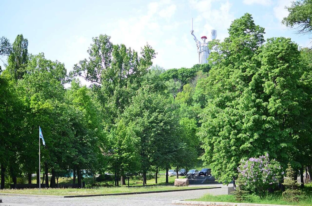
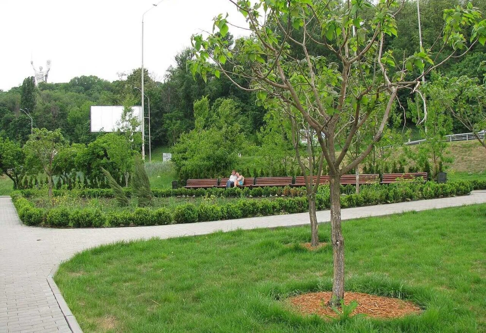
To the right, above the Pechersk slopes, you can see the Motherland Monument. Its silhouette is clearly visible from the waterfront, although the monument itself stands much higher up on the grounds of the War Museum.
Spend about ten minutes here taking photos, then continue toward Paton Bridge.
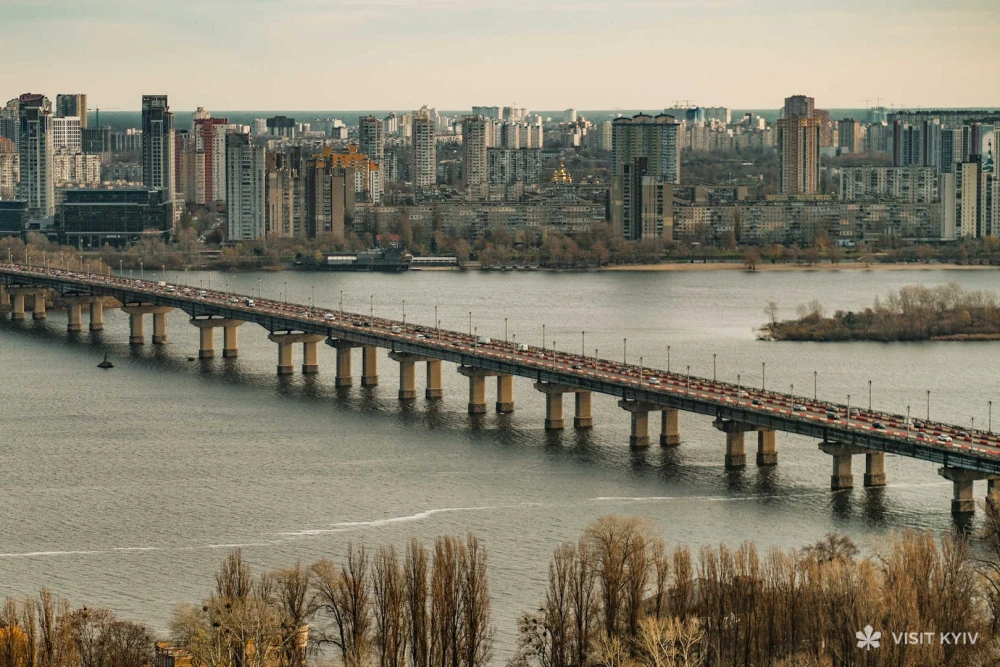
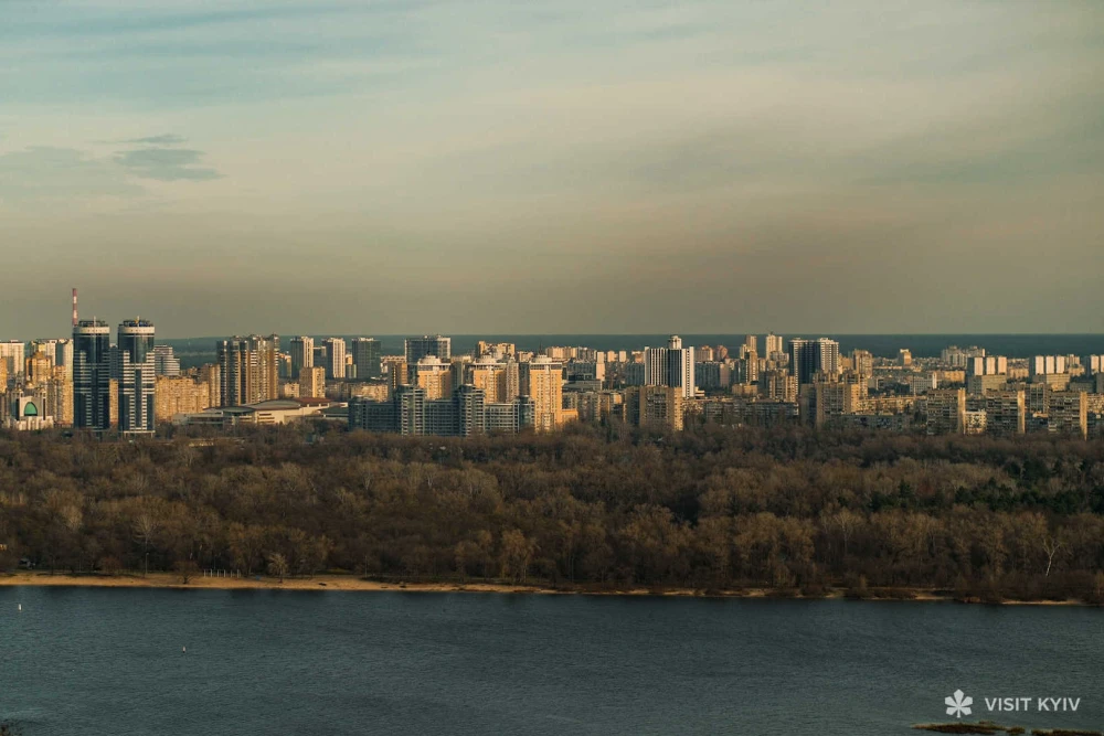
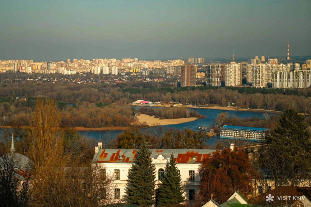
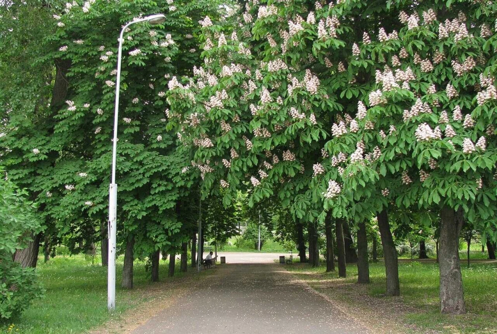
Closer to Paton Bridge, the route enters Navodnytskyi Park. After the open waterfront, the route becomes greener and more shaded, with tree-lined paths and benches by the river.
The park was developed together with the embankment in the 1960s. Its name is linked to the old river crossings that once existed in this part of Kyiv.
Follow the central path and head closer to the water. Around 15 minutes is enough for a short walk through the park. From here, continue to one of its main landmarks — the Monument to the Founders of Kyiv.


Monument to the Founders of Kyiv
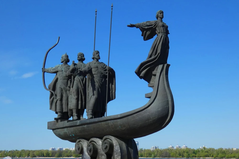
Right by the Dnipro stands the Monument to the Founders of Kyiv — a boat carrying the legendary brothers Kyi, Shchek, and Khoryv, along with their sister Lybid.
The monument was unveiled in 1982 to mark Kyiv’s 1,500th anniversary. It was created by sculptor Vasyl Borodai, who also created the Motherland Monument. The most recognizable part of the composition is Lybid standing at the bow of the boat with her arms raised.
The monument is also associated with a local wedding tradition: newlyweds throw a bouquet toward the boat. According to the tradition, if the flowers land inside, the marriage is believed to be a happy one.
Take a look at the monument from both the park and waterfront sides — it looks noticeably different from each angle.
Church of St. Volodymyr
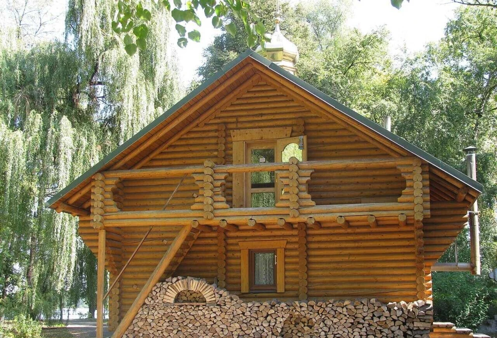
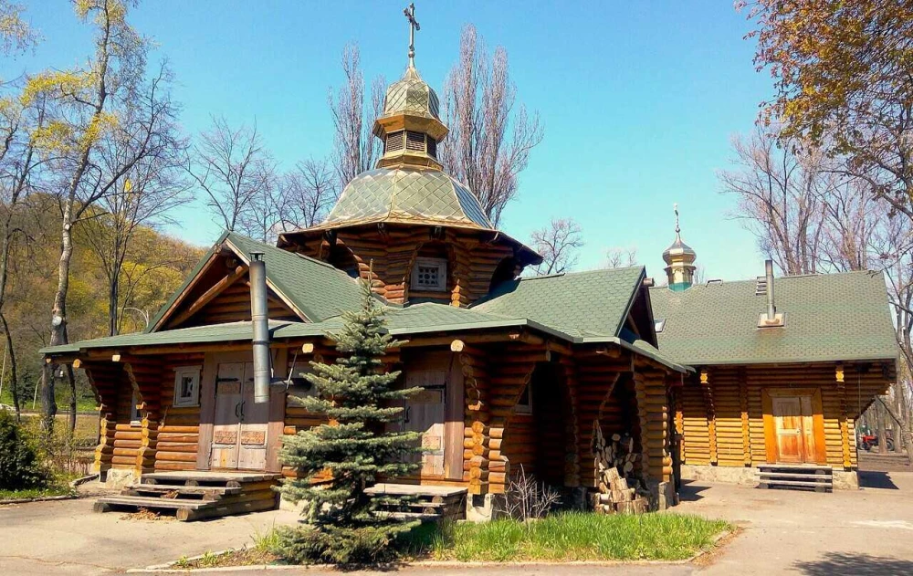
On the way to the final stop, you’ll pass a small wooden church dedicated to St. Volodymyr in the southern part of Navodnytskyi Park.
This is a quick stop along the way. If the church is open, you can step inside or simply pause here for a few minutes. From there, it’s only a short walk to the final stop on the route.
Where to eat after the walk
After Navodnytskyi Park, you can finish the route with lunch or coffee by the Dnipro. Here are a few options depending on what kind of stop you’re looking for:
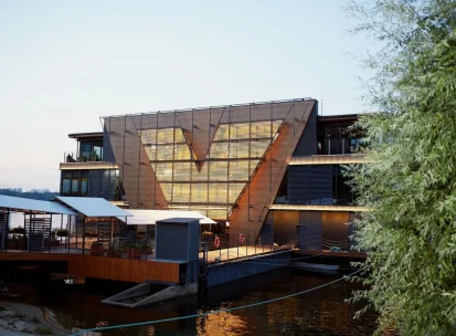
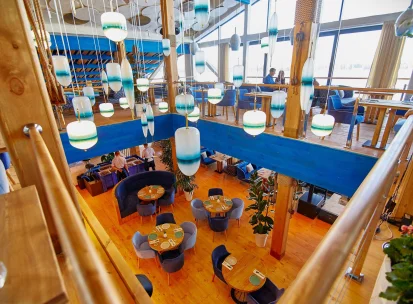
- Veranda na Dnipri — a restaurant right by the water with terraces overlooking the Dnipro and Paton Bridge. A good choice if you want to end the walk with a full lunch and a river view.
- Prychal — a more casual restaurant nearby serving grilled dishes, fish, and seafood. A good option for a relaxed lunch after the walk.
- 7 CAFE-BAR — a convenient stop if you plan to continue uphill toward Pechersk and the Motherland Monument. You can stop here for coffee or a quick lunch.
Before visiting, check the latest opening hours and reservation information on the venues’ official pages.
If you have another 1.5–2 hours: the War Museum and Motherland Monument
You’ll already have seen the Motherland Monument from the waterfront. If you still have time and energy after the main route, you can continue uphill from the Dnipro to the National Museum of the History of Ukraine in the Second World War.
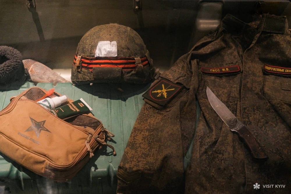
This is an optional extension rather than part of the main waterfront walk. The route climbs the Pechersk slopes, so allow extra time and energy. At the museum complex, you can see the Motherland Monument up close and visit exhibitions covering the Second World War and Russia’s ongoing war against Ukraine.



Before visiting, check the museum’s current opening hours, ticket prices, and visitor information on its official website.
Q&A about the route

Allow around 1.5–2 hours for the main walk, including stops. If you plan to have lunch by the Dnipro, the total time will be about 2.5–3 hours. Continuing to the War Museum will add another 1.5–2 hours.
Yes, but much of the waterfront section is exposed and has very little shade. Bring water and a hat, and on particularly hot days, consider starting later in the afternoon. Navodnytskyi Park offers considerably more shade.
Head to the nearest shelter and continue the route only after the all-clear. During an air raid alert, some venues may close temporarily, and above-ground public transport may be disrupted.
From the Navodnytskyi Park area, you can return to central Kyiv by public transport or taxi. Before leaving, check the latest route information and arrival times using EasyWay.


